Cheers for posting the large-scale maps and information; much appreciated!
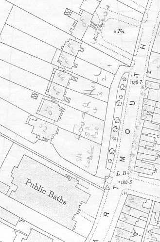
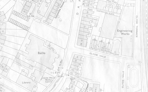
The 1970 map shows a small park at the bottom of Clyde Vale. This was lost when the business centre was developed, and the plot next to the pools was intended to compensate for this loss.
Now, that's something I would never have known about... I don't think I've ever been down that road, apart from passing by via. dog poo alley; might have to do some exploring when it becomes light at 6 again.
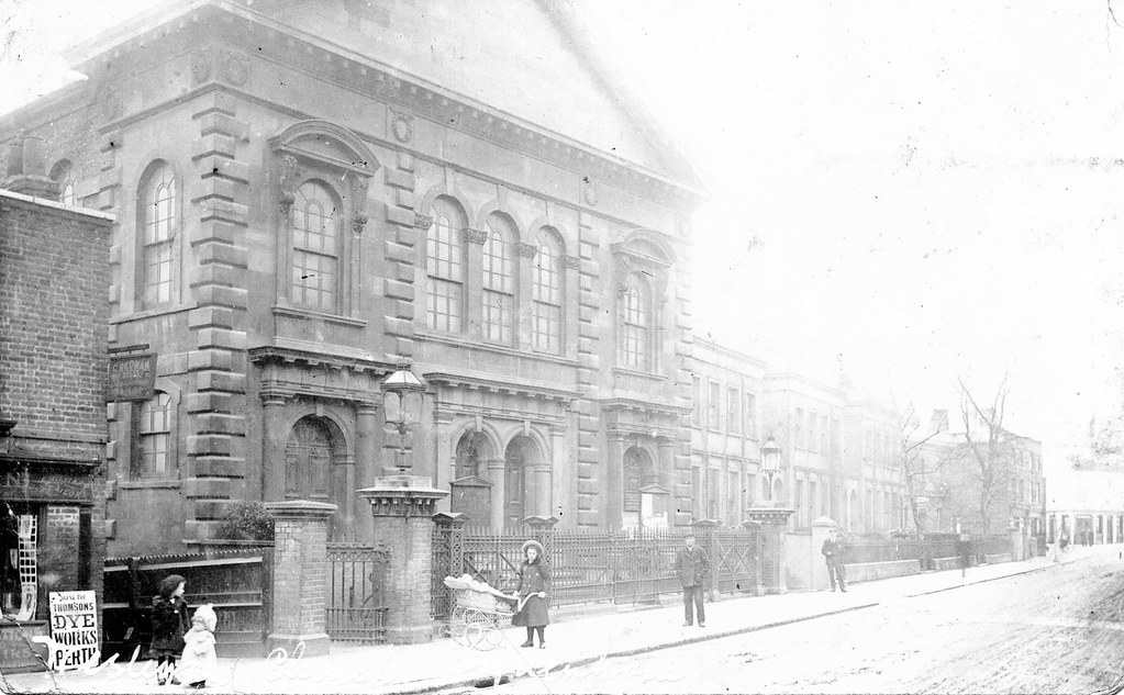
I can't say much about your second question other that that it was a terrace of small shops. Although I don't have a picture of them, this is a rather nice on of the chapel (on the site of the entrance to Suncroft Place) with the last shop of the terrace just visible on the left.
Wow, that's a nice photo! Super duper quality as we've come to expect from Steve's standard... The most intrigueing thing is the shops on the right at the junction with Willow Way, next to the old Police Station, with the pub on the opposite corner. In Steve's other photo of the Police Station, the corner shops had already been demolished to make way for what is now the current Police Station building. The terrace of houses in the middle still survives, set a little back from the road, at the edge of what was the Croydon Canal Reservoir (it's boundary followed the side of Dartmouth Road and Willow Walk).
Everytime I walk down the bottom of Dartmouth Road, I'm always fascinated to think that I'm actually walking between the site of the former Croydon Canal and one of the canal feeders.


