Ordinance Survey maps--1894 (left) and 1914 (right).
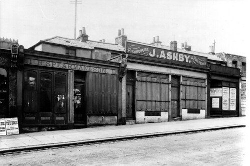
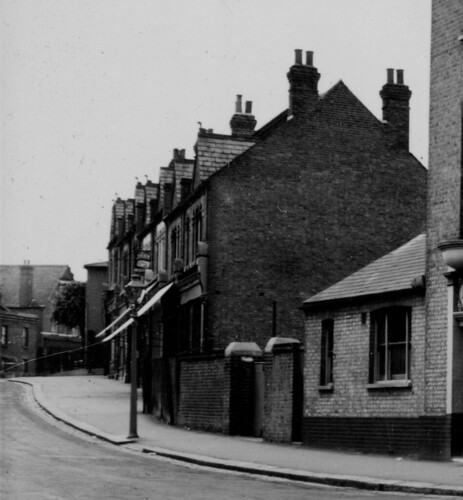
Comparing these maps needs careful examination. Looking at the earlier map, it appears the Fox & Hounds pub was once on it's own with a big triangle of grass around it! Also, before Denham Court was built (big brown block of flats; white from Halifax street), there was, for many years, a big open space there (seen in the later map). I would be interested to know about the shops that were demolished to make way for this open space that was apparently vacant throughout the wars; are any photos known to exist of these shops? You can see about 9 buildings were demolished, as well as a big complex standing right behind them (occupying part of what is now lock-up garages for Halifax street residents); what's this all about!? Perhaps Steve will know something about the history of this western side of Kirkdale? Also note: looking at the 1914 map, the fancy parade--opposite the Kentmen's fish and chip shop--was built in c1900. The parade at the bottom of Wells Park Road had also been built by this time, so the Fox & Hounds no longer had that big triangle of open space around it anymore. It would be interesting to see some old photos of the Fox & Hounds, as none have been published in any books that I'm aware of...