
Mill Gardens on the 1894 Ordinance Survey map

1) I assume this photo matches circle 1 on the map above and taken in the direction of the arrow?


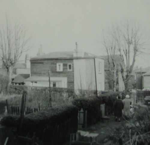
2) I assume these cottages match circle 2 on the map above?

3) I assume the existing Home Cottage is circled directly above in yellow?
4) Above is an old photo showing Home Cottage, but where or which direction is it taken from?

1843 Tithe Map

1862 Standford Map

Painting of Jews Walk--cropped to show Wells Park Road (see Fransfield Grove topic...)
5) Can you match the red circles on the painting to the blue circles on the maps? I've already assigned most of them, but please correct me if I'm wrong.
Red (01) = ?
Red (02) = ?
Red (03) = ?
Red (04) = ?
Red (05) = Blue (05)
Red (06) = Blue (07)
Red (07) = Blue (08 )
Red (08 )= Blue (10)
Red (09) = Blue (11)
Red (10) = Blue (12)
6) Is the 9th red circle the Beehive pub by any chance? On the Stanford map (11th circle), this building is a reverse "L" shape, which I know to definitely be the Beehive, but on the earlier Tithe map it's just a square. Therefore, could the 9th red circle on the painting be a building that came before the Beehive? It has a distinctive chimney beside it...
Any help would be much appreciated!